Description
The Marrex MX-G10 Geotagging GPS System enables you to geotag images captured with your camera, so you can record latitude, longitude, altitude and time information so when you look back, you will have a record of when and where each photo was captured. This feature-rich, lightweight, & compact unit can also serve as an electronic compass or a stand-alone GPS recorder.
Internal 3-Axis Electronic Compass
The MX-G10 features a 3-Axis Electronic Compass which records longitude, latitude and altitude information precisely accurate to less than 2.5m (8 feet). Super-fast processer acquires a GPS signal in under 30 seconds. When the signal is lost due to interference, it maintains the last recorded data and geotags it to your images.
Internal Battery
The MX-G10 is powered by its own internal battery and will last up to 10 hours on one charge. The power method will switch to your cameras battery only after the internal battery is depleted.
Included Accessories
The GPS unit comes with the interface cable for connection to your camera, USB charging cable, lanyard, user guide and a 1 year manufacturers warranty.
Compatibility
As of publication, the MX-G10 is compatible with the Canon EOS Digital Rebel T5i (700D), T5 (1200D), T4i (650D), SL1 (100D), EOS-M, M2, 70D, 7D, 6D, 5D MK III, 1D-C & 1D-X. Additional compatible models will be added as they are released from Canon.
Dimensions
L x W x H: 71mm x 48mm x 32mm
Weight: 50g (1.8 oz)
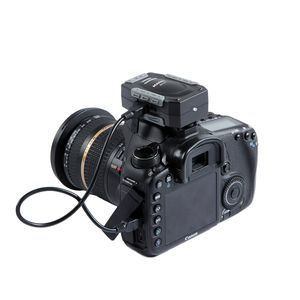
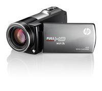
Marrex MX-G10 Professional Geotagger GPS System
Price is below average
Current Price
$49.95
Average
$183.89
Min Price
$29.97
Max Price
$224.95
Price dynamics
73%
Description
The Marrex MX-G10 Geotagging GPS System enables you to geotag images captured with your camera, so you can record latitude, longitude, altitude and time information so when you look back, you will have a record of when and where each photo was captured. This feature-rich, lightweight, & compact unit can also serve as an electronic compass or a stand-alone GPS recorder.
Internal 3-Axis Electronic Compass
The MX-G10 features a 3-Axis Electronic Compass which records longitude, latitude and altitude information precisely accurate to less than 2.5m (8 feet). Super-fast processer acquires a GPS signal in under 30 seconds. When the signal is lost due to interference, it maintains the last recorded data and geotags it to your images.
Internal Battery
The MX-G10 is powered by its own internal battery and will last up to 10 hours on one charge. The power method will switch to your cameras battery only after the internal battery is depleted.
Included Accessories
The GPS unit comes with the interface cable for connection to your camera, USB charging cable, lanyard, user guide and a 1 year manufacturers warranty.
Compatibility
As of publication, the MX-G10 is compatible with the Canon EOS Digital Rebel T5i (700D), T5 (1200D), T4i (650D), SL1 (100D), EOS-M, M2, 70D, 7D, 6D, 5D MK III, 1D-C & 1D-X. Additional compatible models will be added as they are released from Canon.
Dimensions
L x W x H: 71mm x 48mm x 32mm
Weight: 50g (1.8 oz)
Internal 3-Axis Electronic Compass
The MX-G10 features a 3-Axis Electronic Compass which records longitude, latitude and altitude information precisely accurate to less than 2.5m (8 feet). Super-fast processer acquires a GPS signal in under 30 seconds. When the signal is lost due to interference, it maintains the last recorded data and geotags it to your images.
Internal Battery
The MX-G10 is powered by its own internal battery and will last up to 10 hours on one charge. The power method will switch to your cameras battery only after the internal battery is depleted.
Included Accessories
The GPS unit comes with the interface cable for connection to your camera, USB charging cable, lanyard, user guide and a 1 year manufacturers warranty.
Compatibility
As of publication, the MX-G10 is compatible with the Canon EOS Digital Rebel T5i (700D), T5 (1200D), T4i (650D), SL1 (100D), EOS-M, M2, 70D, 7D, 6D, 5D MK III, 1D-C & 1D-X. Additional compatible models will be added as they are released from Canon.
Dimensions
L x W x H: 71mm x 48mm x 32mm
Weight: 50g (1.8 oz)
Price will be lower
in next 2 weeks
in next 2 weeks
According to the data, price will be lower in next two weeks, so not waste your money and track better price!
Similar products
